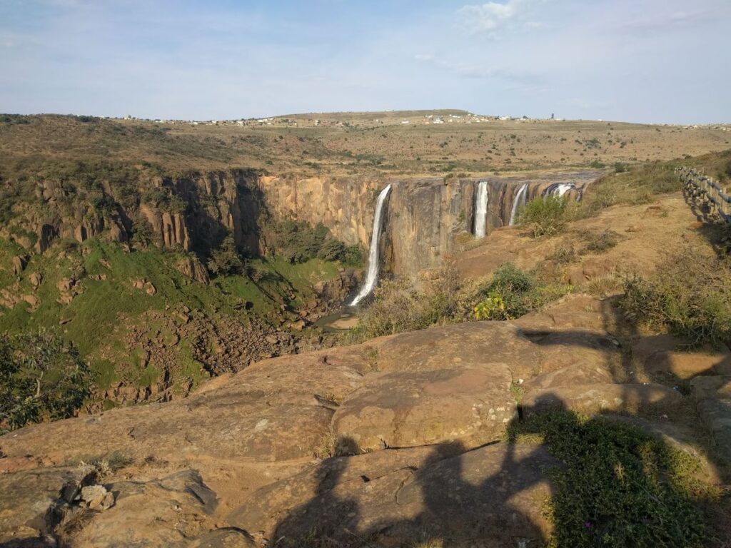
Drylands refer to arid, semi-arid and dry sub-humid areas, and cover 41% of the global land surface. There is growing concern over their sustainability as they are increasingly threatened by climate change, over-exploitation, deforestation, soil erosion, and consequently, land degradation or, more appropriately for drylands, desertification. In order to meet the UN Sustainable Development Goal for Land Degradation Neutrality by 2030 it is imperative to accomplish an assessment of the state of drylands as early and as accurately as possible. Remote sensing, be it in the form of satellite imagery or aerial photography from manned aircrafts or UAVs, has proven its potential as a unique tool for retrieving dryland properties at the local, the regional and continental scales. Over the last decades, a substantial amount of work has been allocated to the retrieval of dryland characteristics. Numerous satellite missions are currently being used to quantify dryland traits in a wide range of temporal and spatial resolutions, while new missions with improved capacities are constantly becoming available, or planned for the near future, in an ever-increasing rate. However, the use of remote sensing for mapping, monitoring or modelling these traits is far from problem-free: drylands are perhaps some of the most difficult regions to study due to the inherent high level of complexity and their dynamic nature.
Within this context, we welcome studies that present novel approaches on the study of dryland characteristics. We endeavour this session to provide the platform for the analysis of the benefits as well as the pitfalls of using aerial photography, UAVs, LiDAR, Radar, hyperspectral or multi-spectral satellite data in this field.

List of topics
- Dryland vegetation condition (e.g., with vegetation indices, time series analysis)
- Mediterranean or dry tropical forest trends
- Dryland forest fires
- Land degradation/desertification assessment
- Savannahs (e.g., monitoring the grass component or bush encroachment)
- Radar applications in drylands
- LiDAR applications in drylands
- Hyperspectral applications in drylands
- Biological soil crusts
- Biomass
- Salinity
- Hydro-geomorphological applications in drylands (including runoff and soil erosion)
Organisers
Elias Symeonakis, Manchester Metropolitan University (MMU), e.symeonakis@mmu.ac.uk
Eva Arnau, MMU, e.arnau-rosalen@mmu.ac.uk
Christina Karakizi, MMU, c.karakizi@mmu.ac.uk
