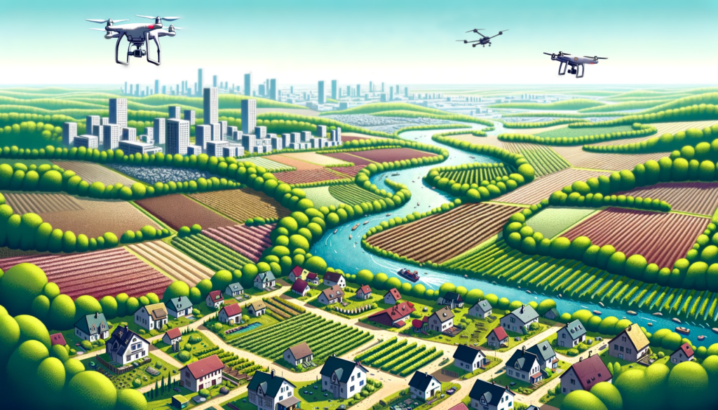
The development and rapid rise of Unoccupied Aerial Systems (UAS) or drones over the past decade has marked a new era in remote sensing, providing solutions for collecting data at unprecedented spatial, spectral, and temporal resolutions. UAS technology enhances our ability to collect high-resolution data efficiently and flexibly, opening up a wide range of multi-theme opportunities. However, employing UAS poses challenges as the technology evolves, requiring the dissemination of protocols and effective communication about cutting-edge methodologies and operational techniques to ensure their successful integration into applications.
In this special session, we will explore the forefront of UAS research, presenting the latest advancements in sensor integration, including RGB, multispectral, hyperspectral, thermal and LiDAR technologies, through a variety of applications. This session welcomes submissions related to diverse environmental and territorial UAS applications such as studying urban and natural environments, monitoring vegetation traits in forestry, precision agriculture, or mapping natural hazards. Submissions featuring the use of 3D imagery, the exploitation of AI, the use or research of new sensor, or multi-sensor approaches are also welcome.
This session provides an opportunity for researchers to share insights, present their latest research, discuss technical challenges, and identify future collaboration needs.

List of topics
- Environmental and urban studies using UAS
- UAS application for mapping natural hazards and risk analysis
- AI methods applied to UAS data processing
- UAS calibration and validation activities
- New sensors research
- Software tools that exploit recent technologies and algorithms in image processing
Organisers
- Benjamin Beaumont, ISSeP, Belgium, b.beaumont@issep.be
- Dr Coraline Wyard, ISSeP, Belgium, c.wyard@issep.be
- Prof. Dr Lammert Kooistra, University of Wageningen, the Netherlands lammert.kooistra@wur.nl
Link to the SIG webpage https://uas.earsel.org/
