Living in an ever-changing Earth, mapping and monitoring of natural processes and human activities taking place on its surface is a perpetual issue. In fact, humans are currently faced with the massive global challenge of climate change making the undertaking now more than ever a key issue. In this framework, remote sensing provides geologists and other geoscientists effective and accurate solutions to investigate a wide variety of phenomena for more than fifty years, since the launch of the first Landsat satellites. Different kinds of cameras or other sensors, such as RGB cameras, multispectral or thermal sensors, hyperspectral, Synthetic Aperture Radar (SAR) or Lidar sensors, even Ground Penetrating Radar and echo sounders, provide valuable information in high spatial resolution and accuracy for studies such as geological mapping, geomorphological mapping, geohazard analysis, etc. The increasing availability of such data as well as the development of novel soft computing methods (machine learning, deep learning, etc.) have created new research opportunities. In light of this, a special session entitled “Remote Sensing in Geological Applications” will be held as part of the 43rd EARSeL Symposium in Manchester in June 2024. New achievements or case studies related to geological applications are welcome in the special session.
List of topics
- Geological Mapping
- Tectonic Geology
- Hydrogeology
- Geomorphology
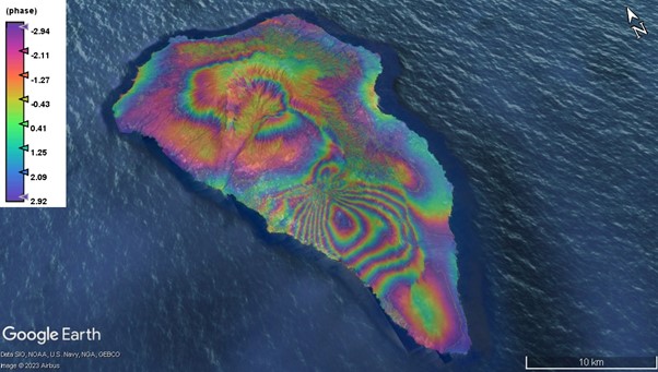
- Geohazards (Landslides, Floods, Earthquakes, Volcanoes)
- 3D mine mapping
- Lidar and SfM photogrammetry for open pit mines
- Spectroscopy for mining purposes
Organisers
Prof. Konstantinos Nikolakopoulos, University of Patras, Greece knikolakop@upatras.gr
Dr Aggeliki Kyriou, University of Patras, Greece a.kyriou@ac.upatras.gr
Link to the SIG webpage https://geology.earsel.org/