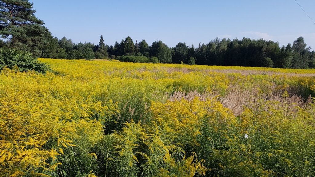
Invasive alien plants (IAP) establish and spread when introduced to a new region by increasing their distribution and spread without direct human intervention. Invasive alien species are currently 1 of the 5 drivers of biodiversity loss, counting to an estimated 12 billion euros loss per year in Europe and Worldwide. The European Strategy for Biodiversity 2030 calls for a 50% reduction in the number of Red List species (regulation 1143/2014, European Union (EU) – list of IAP of EU concern) and highlights the need for active monitoring. Hence, member countries need more support in monitoring and in evaluating past and future trends of key IAP.
Remote sensing systems have long been used to map IAP. Using different satellite systems, covering larger areas and with decreased resolution, through airborne hyperspectral data to unmanned aerial vehicle covering local areas with high resolution data. New data and algorithms encourage optimizations of existing methods, especially since IAP create heterogeneous spectral compositions. However, there is little information about most of the AIP spread in European countries, where there is no data focusing on the issue from, for example, the Copernicus programme. Hence, more work is needed with regards to satellite remote sensing of AIP. On a more local scale, the multispectral UAV systems are starting be an established system within researchers.
The public availability of decameter resolution satellite data and the accessibility to MS UAV systems open the possibility for a spatially and temporally continous monitoring of AIP. In parallel, the environmental impact of such AIP spread can also take advantage of remote sensing to assess such impact from local to transnational studies.
List of topics
- New Image processing algorithms and classification methods.
- Detection of invasive alien plants (AIP) from remote sensing systems:
- Geographical and temporal transferability of AIP detection algorithms.
- Multi-, hyperspectral separation of AIP from other vegetation covers considering different landscapes, ecosystems and seasons.
- Combination of ancillary datasets to generate reference data.
- AIP and big data and cloud computing.
- AIP digital twins.
- Environmental impacts of IAP spread combining remote sensing, field surveys and other sets of ancillary datasets.
- Assessing biocontrol agents with remote sensing.
Organisers
Bogdan Zagajewski – University of Warsaw, Poland bogdan@uw.edu.pl
Diogo Duarte – University of Coimbra, INESC Coimbra, Portugal diogovad@inescc.pt
Cidália Fonte – University of Coimbra, INESC Coimbra, Portugal cfonte@mat.uc.pt
Elizabete Marchante, University of Coimbra, Portugal emarchante@uc.pt